Safer roads for travelling actively
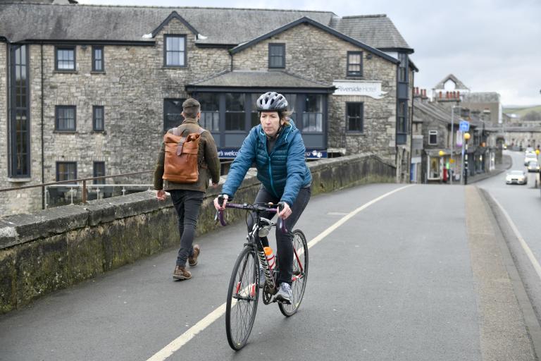
Westmorland and Furness Council and Cumberland Council are improving local roads to make it easier, safer and more attractive for the people of Cumbria to travel actively for everyday journeys.
Designing roads for active travel
The Government’s new design standards for walking, wheeling and cycling are based on five core design principles:
- Direct – routes should be as direct, or more direct, than routes used for motor traffic.
- Coherent – routes should be easy to navigate and linked to where people need to go.
- Safe – routes need to be safe and feel safe too.
- Comfortable – routes need quality surfaces, sufficient widths and favourable gradients.
- Attractive – routes should be naturally attractive and add attractiveness to urban areas.
These principles are at the heart of active travel design in Cumbria. This includes providing segregation between different road users, such as separating cyclists from motor traffic and separating cyclists from pedestrians too, wherever possible.

The Highway Code places people who are travelling actively first. Changes were made to the Highway Code in January 2022 that aim to improve safety and priority for people walking, wheeling or cycling on UK roads. Changes include:
- Drivers and riders should give way to pedestrians crossing or waiting to cross the road when turning in or out of junctions.
- Drivers should give priority to cyclists at junctions when they are travelling straight ahead.
- When overtaking a cyclist, drivers should leave at least 1.5m at speeds of up to 30mph, more distance if at a higher speed.
- When passing a pedestrian walking in the road, drivers should leave at least 2m space and keep their speed low.
For more details on the changes check the The Highway Code on GOV.UK.
Local Cycling and Walking Infrastructure Plans (LCWIPs)
Each Council has developed a plan for improving its roads for walking, wheeling and cycling in its larger urban areas. These plans are known as Local Cycling and Walking Infrastructure Plans (‘LCWIPs’) and look to deliver on the Governments ambition to have half of all journeys in cities and towns across the country to be completed by either walking, wheeling or cycling by 2030.
- Cumberland Local Cycling and Walking Infrastructure Plans
- Westmorland and Furness Local Cycling and Walking Infrastructure Plans
Delivering active travel improvements in Cumbria
You might start to see some of your local roads change as a result of improvements for walking, wheeling and cycling.
Recently delivered and upcoming active travel schemes in Cumbria include:

Michaelson Road, Barrow-in-Furness

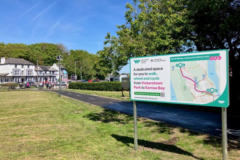
North Walney, Barrow-in-Furness

Abbey Road, Barrow-in-Furness

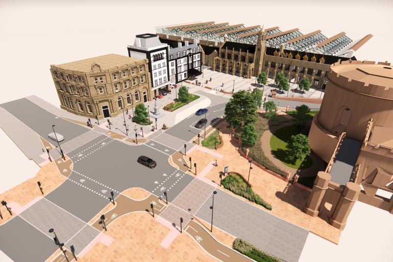
Carlisle Southern Gateway, Carlisle
These schemes include new highway design features to support active travel.
Junctions with side roads
Recent changes to the Highway Code have introduced a priority for pedestrians over drivers and riders when crossing or waiting to cross a side road.
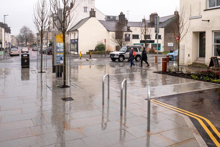
We are re-designing our roads to indicate this priority to drivers more clearly and slow vehicles on their approach. This can be achieved by changing the surfacing across the junction to highlight the presence of pedestrians crossing. The surface of the road may also be raised to the same level as the footway (pavement) to make it easier for pedestrians to cross whilst forcing vehicles to slow down.
An example of this is on Blackhall Road in Kendal with its side road junction of Stramongate.


Parallel Crossing
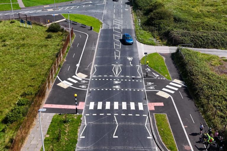
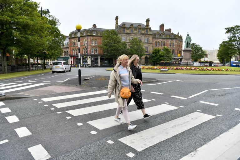
A parallel crossing enables pedestrians to safely cross a road alongside cyclists in their own adjacent, or ‘parallel’ crossing space. These crossings are similar to a zebra crossing but with the addition of a separate cycle crossing to the side. Pedestrians and cyclists have right of way over drivers and riders using the road carriageway.
An example of this can be found on Mill Lane on Walney Island, Barrow-in-Furness near to its junction with West Shore Road.
Toucan Crossing
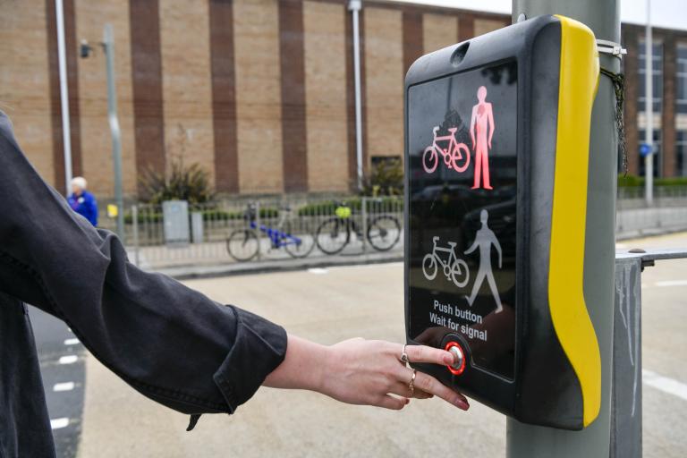
Toucan means ‘Two Can’ cross. They allow pedestrians and cyclists to cross the road safely at the same time.
Toucan crossings are signalised with traffic lights, so pedestrians and cyclists using the crossing must wait until the lights turn green for the pedestrians and cyclists (and red for other traffic on the road) before safely crossing with priority. Pedestrians and cyclists cross the road in the same shared space when using a toucan crossing.


Space for walking, wheeling and cycling
In spaces where people are walking, wheeling and cycling the space will be designated as either shared use or segregated:
- Shared use – those walking, wheeling and cycling share the same space. Cyclists should give priority to pedestrians and reduce their speed when the space is busy. Shared use routes are for travel in either direction and should be designed wide enough to avoid conflict between users.
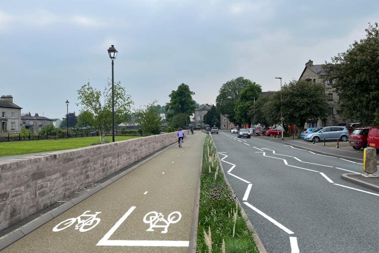
- Segregated footway / cycleway – those walking and wheeling have their own designated footway space to those that are cycling in the cycleway space.
The boundary between the two is usually marked by markings on the ground or a kerb line between the two. Segregated routes for cyclists will be marked to indicate the correct direction of travel.
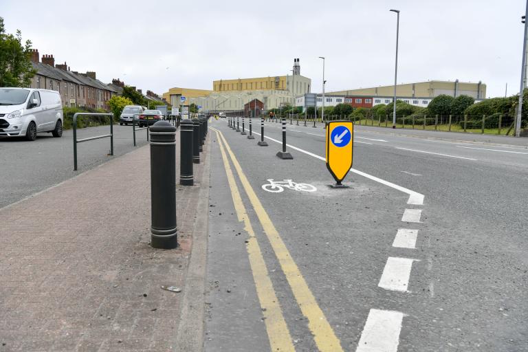
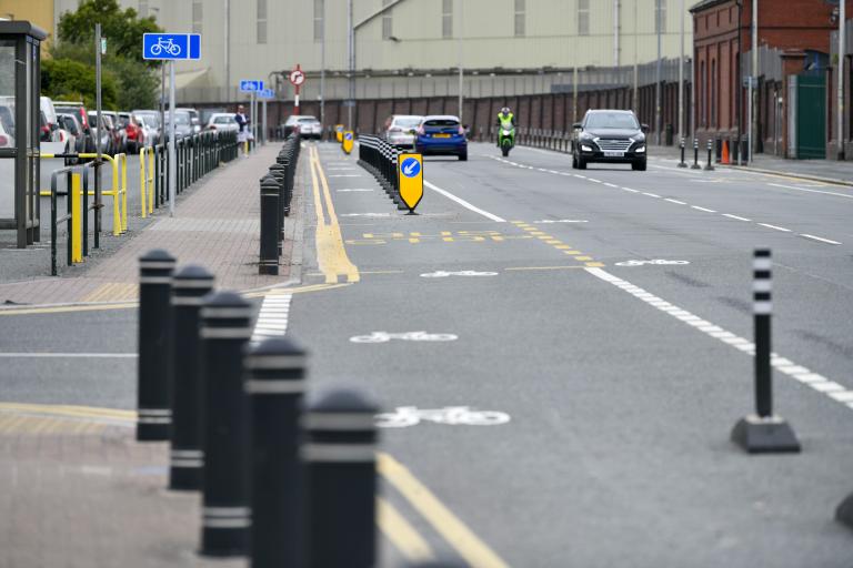
Cycle routes designed to the new Government guidance will be segregated from motor traffic where possible. Segregation may be ‘light’, such as with the use of wands, or with a more substantial ‘buffer zone’ using kerbs and planting. The aim is to protect cyclists from motor traffic and help cyclists feel safe too.
Cycleways that are segregated from both motor traffic and from pedestrians can be either one-way direction or two-way direction.
A two-way cycleway may be provided on one side of the road, or on both sides. One-way cycleways are usually provided on the side of the road to match the same direction of motor traffic. Cyclists must ensure that they are using any one-way cycleways in the correct direction, which will be clearly marked.